See Every Hectare. Fix Problems Early.
Aerial drone surveys for Costa Rica's farms, plantations, and agricultural land. Crop mapping, drainage analysis, and precision topographic data — delivered in hours, not days.
Get a Quote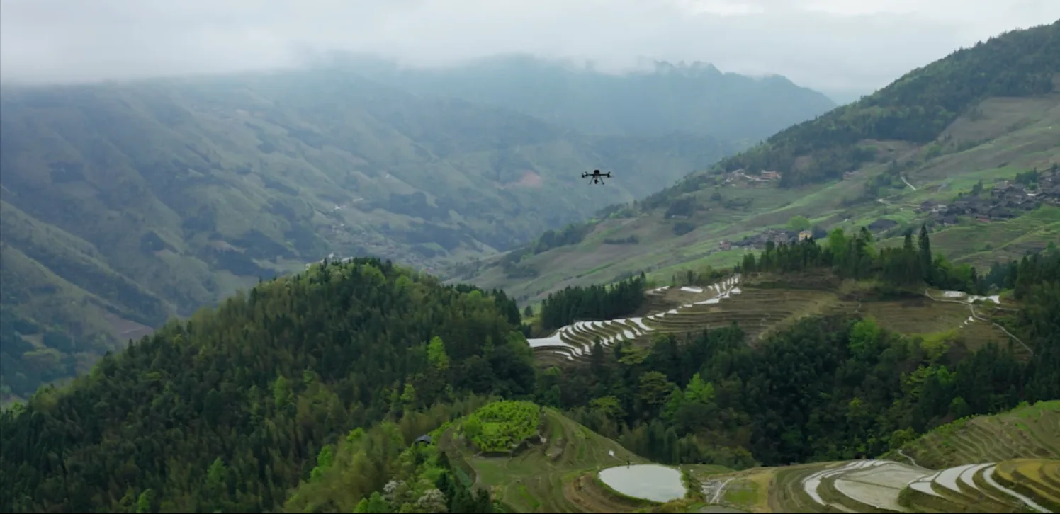
You Can't Manage What You Can't See
From the ground, crop problems, drainage failures, and terrain issues are invisible until they become expensive. By then, it's too late.
Hidden Dead Zones
Sections of your crop that aren't producing — visible from above but invisible on foot until the harvest is already lost.
Drainage Failures
Waterlogging and runoff patterns that damage roots and soil — only detectable with full terrain elevation data.
Irrigation Inefficiency
Uneven water distribution across uneven terrain wastes resources and stunts crops in ways ground observation misses.
Slow Ground Surveys
Walking 50 hectares for a topographic survey takes days. A drone covers the same area in under an hour.
Aerial Data Built for Agriculture
🗺️ Full Farm Orthomosaic Maps
Georeferenced aerial imagery of your entire property — stitched into a precise, scrollable map at centimeter resolution.
📐 Topographic Survey & DEM
Digital Elevation Models showing every slope, depression, and high point across your land — critical for drainage and irrigation design.
💧 Drainage Pattern Analysis
Identify how water moves across your farm. See where it pools, where it runs off, and where it's missing.
📊 Seasonal Change Tracking
Compare aerial surveys across seasons. Track crop health, land changes, and project progress over time.
🌿 Vegetation & Crop Zone Mapping
Identify distinct zones across your farm — crop types, bare land, water bodies, and coverage gaps — from a single flight.
📏 Land Area & Boundary Surveys
Precise measurements of your farm's area, internal field divisions, and boundary limits — documented and georeferenced.
Data Your Agronomist and Engineer Can Actually Use
Every survey is delivered in industry-standard formats your team can open and work with right away.
- Orthomosaic (GeoTIFF) — High-res georeferenced aerial image. Import into any GIS software, Google Earth, or planning tool.
- Digital Elevation Model (DEM) — Elevation surface data in industry-standard formats — for drainage modeling and irrigation design.
- 3D Point Cloud — Full LiDAR point cloud for precise terrain analysis, volume calculations, and 3D visualization.
- Contour Maps — Topographic contour lines at your specified interval — ready for engineering and agronomy workflows.
- Aerial Photography — High-resolution photos of your entire property for documentation, marketing, or insurance records.
20 Hectares Mapped in 20 Minutes
±1 cm LiDAR vertical accuracy. From flight to delivery in 72 hours. 100% Costa Rica coverage — our team comes to you with LiDAR drones and completes the survey, usually in a single morning.
Simple Process, Fast Results
1. Tell Us About Your Farm
Send your location and approximate area. WhatsApp or online form — we'll respond the same day.
2. Get a Custom Quote
Pricing based on your farm size and data requirements. No surprises.
3. We Fly Your Land
Our team comes to you with LiDAR drones and completes the survey — usually in a single morning.
4. Receive Your Data
All deliverables — orthomosaics, DEMs, point clouds, contour maps — within 72 hours of the flight.
Trusted by Property Owners & Professionals Across Costa Rica
⭐⭐⭐⭐⭐ 5.0 out of 5 · 25 Google reviews
"The orthomosaic maps we received were incredibly detailed. We were able to identify problem areas in our drainage system that we'd never noticed from the ground. The data was ready in 48 hours, and now we're redesigning our irrigation layout based on the topographic model they provided."
"I've done surveys with ground crews and traditional surveyors before. This was faster, cheaper, and more accurate. The point cloud data allowed my engineering team to model terrain features we'd never have captured manually. Definitely recommend for any large property project."
"From the first call to receiving the final data, the whole process was seamless. The team explained exactly what I'd get, the drone flight took just a couple of hours, and the deliverables were professional and immediately usable. Highly professional team."
Get a Free Quote for Your Farm
Tell us about your farm and we'll send you a custom quote — usually the same day.
Prefer WhatsApp? Message us directly: +506 7293 8970
Ready to See Your Farm From Above?
20 hectares mapped in 20 minutes. Data delivered in 72 hours. All of Costa Rica.