
Our Services
Professional drone surveying, mapping, and aerial photography solutions across Costa Rica — centimeter-accurate data delivered in days.
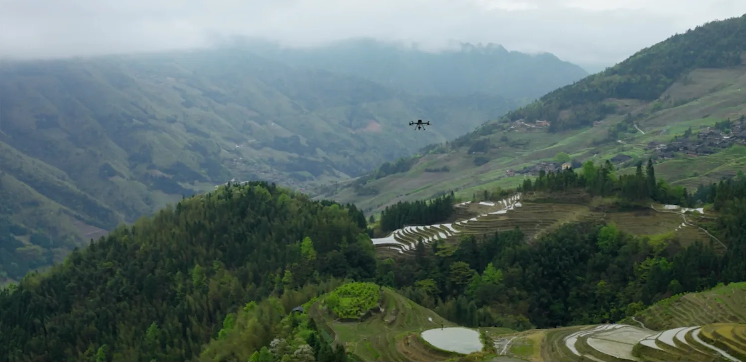
High-Precision Aerial Survey Solutions
Drone Survey Costa Rica specializes in high-precision aerial surveying and mapping using the latest drone technology. Whether you need topographic mapping, 3D models, GPS positioning, or professional aerial media, we have the expertise and equipment to deliver survey-quality results.
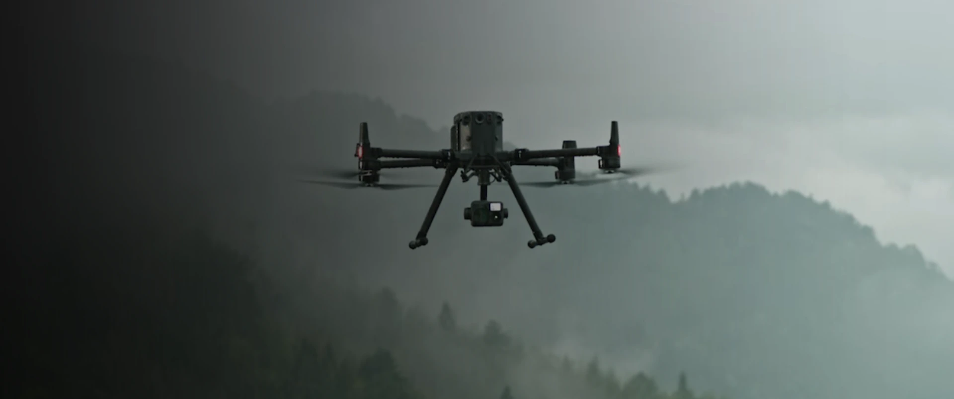
LiDAR Drone Mapping
Precision topographic surveys with ±1–3 cm accuracy. Our LiDAR technology penetrates forest canopy to map ground terrain beneath dense vegetation.
Perfect for: Land development, engineering projects, forestry, infrastructure planning.
Learn More →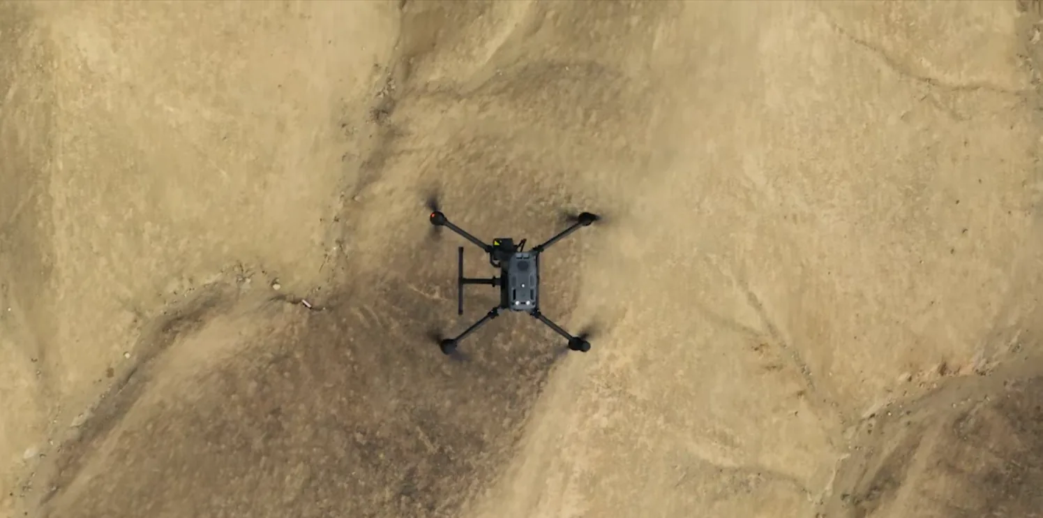
3D Photogrammetry
High-resolution orthomosaics and 3D models created from aerial photography. Capture detailed visual documentation and precise measurements from every angle.
Perfect for: Real estate marketing, construction documentation, asset inspection, architectural visualization.
Learn More →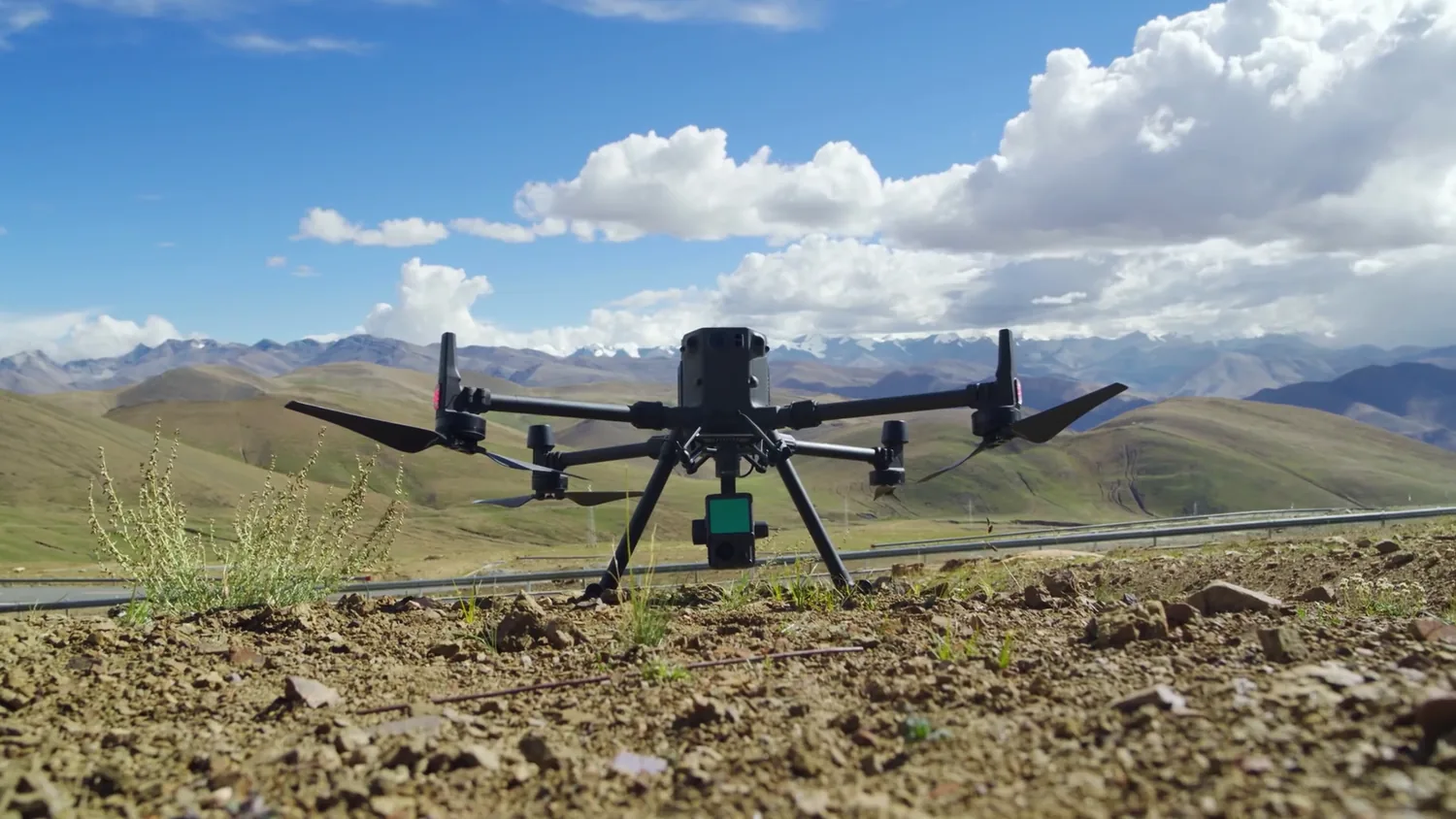
GPS Geopositioning
Precise geographic coordinates using RTK GPS positioning with ±2 cm horizontal accuracy. Essential for boundary surveys and legal demarcation.
Perfect for: Boundary surveys, property registration, engineering control points, legal documentation.
Learn More →Why Choose Drone Survey Costa Rica?
- Professional-grade DJI Matrice 300 RTK with latest LiDAR technology
- DGAC licensed operators with 7+ years of experience
- Survey-quality accuracy across all terrain types
- Fast turnaround: results delivered in 3–7 days
- All data georeferenced to Costa Rica's official coordinate system
- Compatible with AutoCAD, GIS, and engineering platforms
- Competitive pricing with free quote
How We Work
Getting started is easy. Three simple steps from request to delivery.
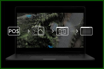
Virtual Mission Planning
Mission planning software lets us visualize the drone's flight path and run time before a single flight. We scope your project remotely and quote within 24 hours.

Flight Mission Execution
Our team executes the planned mission on-site to capture photo and lidar data for centimeter-accurate 3D mapping. Safety-first with DGAC authorization.
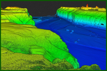
Capture, Analyze, Visualize
Data is processed through our software to produce high-quality 3D photogrammetry and topographic maps — delivered in 3–7 business days.
Ready to Get Started?
Get a free quote for your project in minutes. Our team will assess your needs and provide an accurate estimate.