Show It From Above. Sell It Faster.
Aerial drone photography, cinematic video, and LiDAR land surveys for real estate buyers, sellers, and developers across Costa Rica.
Get a Quote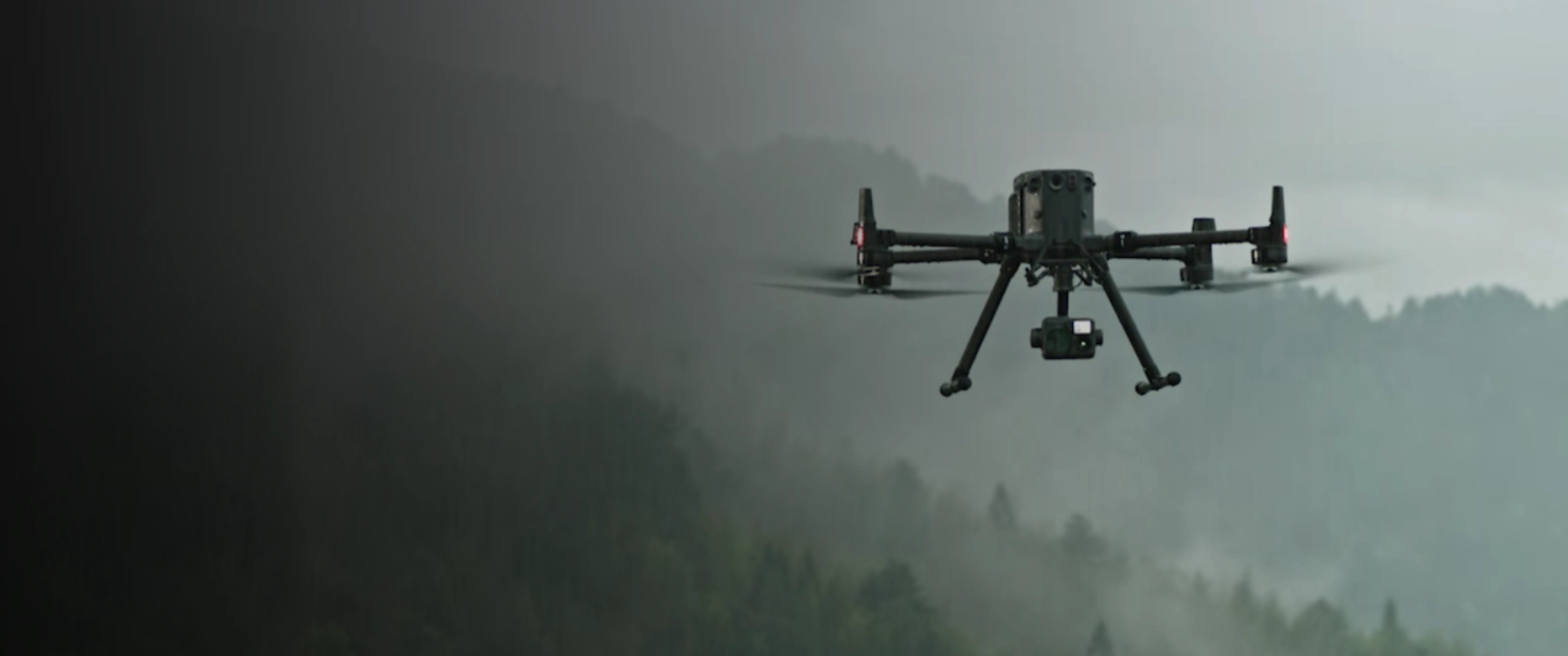
Everything You Need to Buy, Sell, or Develop Property
Aerial photography, cinematic video, and survey-grade LiDAR — for every kind of real estate project in Costa Rica.
📸 Aerial Photography
High-resolution aerial photos that capture the full scale and beauty of any property — from small lots to large estates. Perfect for listings and marketing materials.
🎬 Cinematic Drone Video
4K cinematic flyovers of your property, neighborhood, and surroundings. Give buyers the immersive experience that sells.
🗺️ LiDAR Land Mapping
Centimeter-accurate 3D terrain models of any property. Understand true boundaries, topography, slopes, and drainage before you build or buy.
📐 Boundary Surveys
Precise aerial boundary mapping overlaid on georeferenced imagery. Know exactly what's included in the property — no surprises.
🏗️ Development Site Assessment
Full topographic data for land developers — slopes, buildable area, drainage, access, and infrastructure planning.
📊 Investor Packages
Aerial footage, maps, and data formatted for investor decks and development presentations.
The View That Changes Everything
- Listings sell faster. Properties with aerial photography and drone video generate significantly more inquiries and sell faster than ground-only listings.
- Know before you buy. A LiDAR aerial survey reveals slopes, flood zones, drainage issues, and true boundaries — before you commit to a purchase.
- Command a higher price. Aerial visuals elevate the perceived value of any property. Buyers pay more for what they can fully see and understand.
- Show context and location. Ground photos can't show proximity to the beach, mountain views, or neighboring developments. Aerial shots can.
3× more buyer inquiries on listings with professional aerial photography vs. ground-only photos. And just 72 hours from flight to delivered photos, video, and maps.
Built for Every Stage of Real Estate in Costa Rica
🏡 Property Sellers
Make your listing stand out online with stunning aerial photos and cinematic video that buyers can't scroll past.
🔎 Land Buyers
Before you sign, get a full aerial LiDAR assessment of the land — boundaries, terrain, drainage, and buildable area.
🏗️ Developers
Plan your development on accurate topographic data. Know your cut-and-fill, drainage, and infrastructure requirements before ground breaks.
🏘️ Real Estate Agents
Offer aerial photography as a premium service to your listings. Faster sales mean happier clients and more referrals.
💼 Investors
Get full aerial documentation packages for due diligence and investor presentations. Know exactly what you're buying into.
🏦 Banks & Appraisers
Accurate land measurements and boundary mapping to support property valuations and financing decisions.
Trusted by Property Owners & Professionals Across Costa Rica
⭐⭐⭐⭐⭐ 5.0 / 5 · 25 Google reviews
"Outstanding service and professionalism. The drone survey provided exactly what we needed for our project — accurate, detailed, and delivered on time."
"Excelente trabajo. Los datos que recibimos fueron muy precisos y nos ayudaron enormemente en la planificación del proyecto."
"Professional team, incredible results. The topographic data saved us thousands of dollars in planning costs. Highly recommended."
Get a Free Quote
Aerial photography, LiDAR mapping, or land survey — tell us what you need and we'll get back to you the same day.
Or WhatsApp us directly: +506 7293 8970
Ready to See Your Property From Above?
Aerial photography, cinematic video, and LiDAR land mapping — all of Costa Rica. Tell us what you need and we'll get back to you the same day.